For the first time, we used our video tracking system in a large-volume experiment to track a 3D construction robot, used for concrete extrusion/shotcreting. The working area is 8 x 6 x 5 m. The objective of the experiment is to analyse absolute positioning accuracy and precision of the robot.
Project: Additive Manufacturing in Construction AMC TRR 277
Research Infrastructure: Digital Constrcution Site
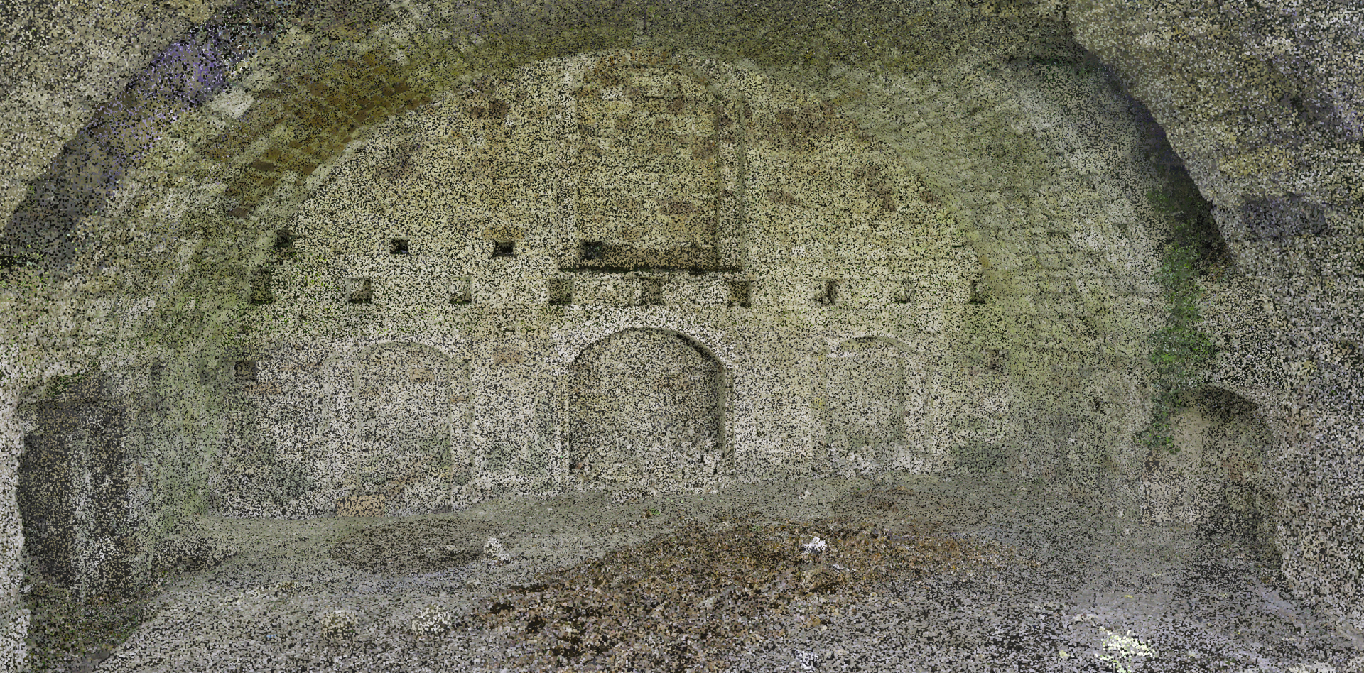
From 1570 onwards, the town of Wolfenbüttel was surrounded by a large fortress in which the Dukes of Brunswick-Wolfenbüttel resided. This was razed in 1798 as it had become militarily obsolete and the growing town demanded more and more space. As a result, almost the entire fortress was demolished. Many fortress vaults, so-called casemates, were built into the fortress.
Remains can be found in the immediate vicinity of the construction site for the Relief Building II of the Gymnasium im Schloss. Casemate room 30 is almost completely preserved, while some foundation walls of casemate room 28 have become visible through the construction site. Both casemates were built around 1578.
In order to check the stability of casemate 30 during the construction work and to document the walls, we, the Institute of Geodesy and Photogrammetry, regularly scan the objects with laser scanners. The resulting point cloud is a fully digital 3D representation of the complex. This high-precision survey allows any movements of the casemate to be recognised at an early stage.
The preserved fortress components are to be integrated into the new school building and thus made visible.
Our English-language lecture and exercise "Deep Learning" was honoured as the best international course in the Technical University of Braunschweig's teaching award. The students praised the course taught by Professor Markus Gerke, Dr Mehdi Maboudi and Dr Pedro Marco Achanccaray Diaz: „The course is designed really effectively. The lecture series, lab sessions, assignments provide a comprehensive idea about various topics of training ML algorithms. The bonus exercises bring out our competitive side.”
New job offer at IGP in the context of Digital and Additive Construction, particularly on Quality Control! We are seeking a motivated colleague to support us in the Collaborative Research Centre TRR277 „Additive Manufacturing in Construction – The opportunity for large impact“, with strong ties to the newly created "Digital Construction Site" (DCS). Find the full advertisement in the PDF-file below.
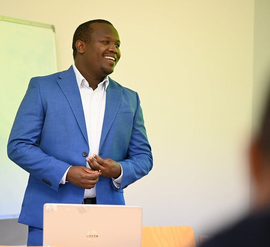
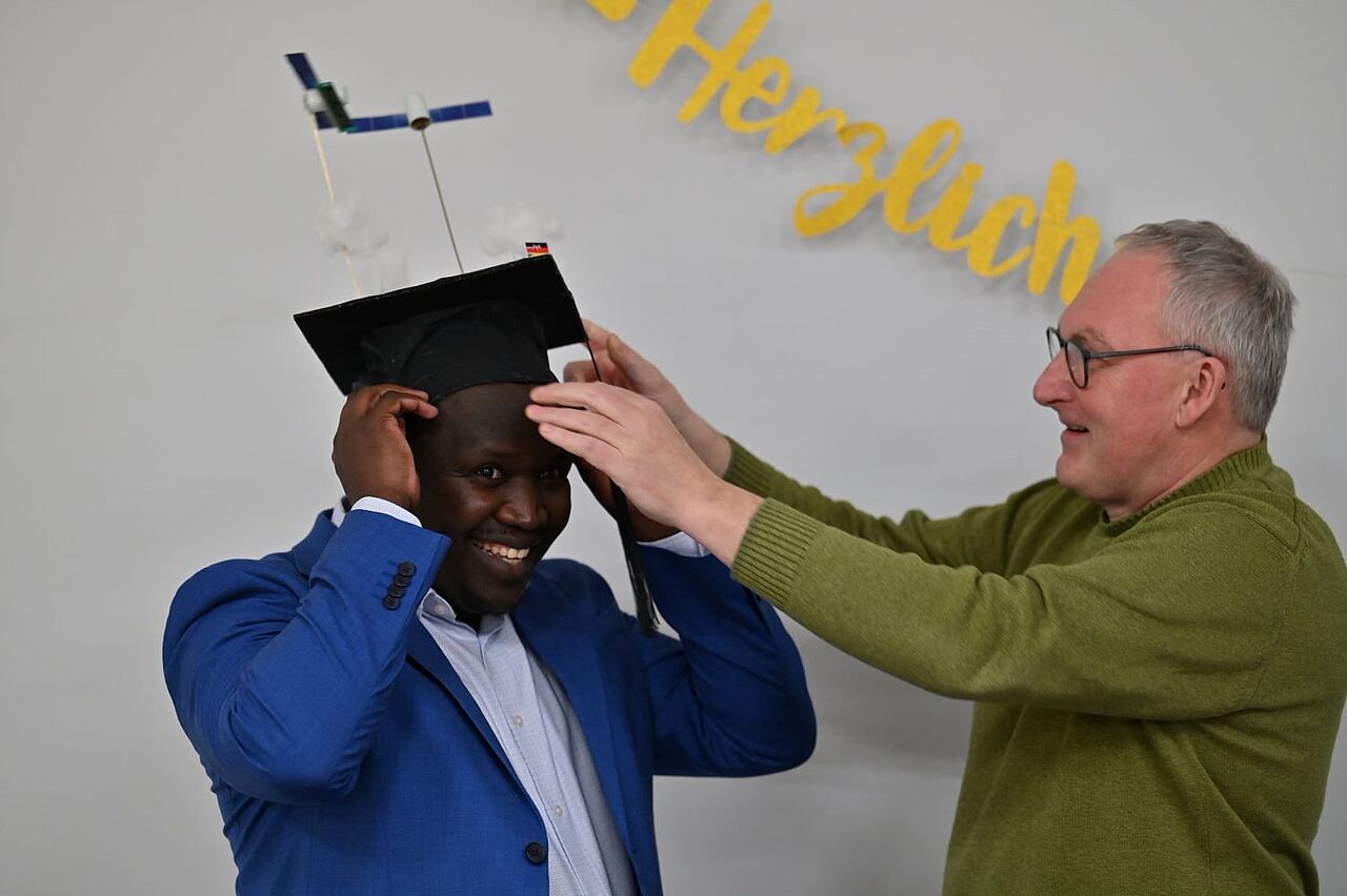
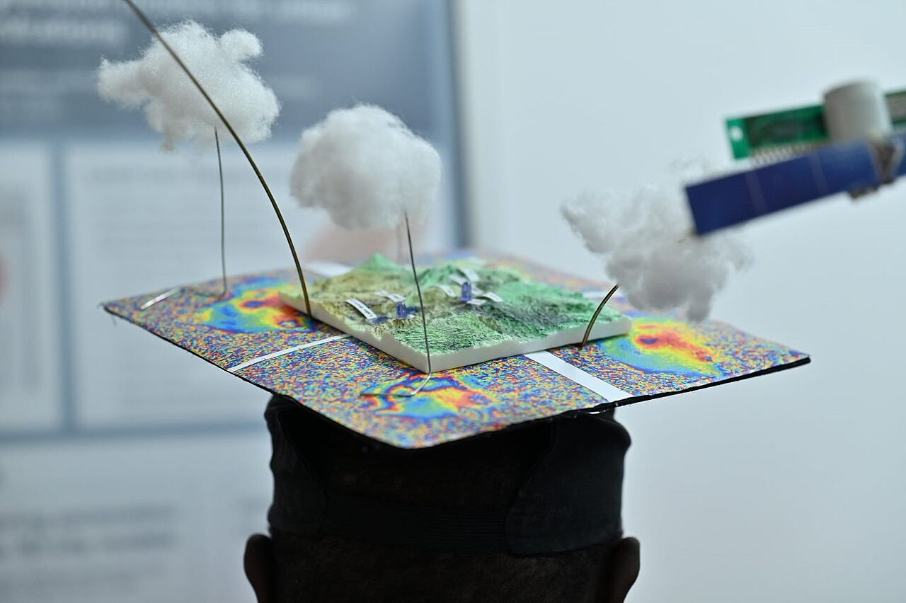
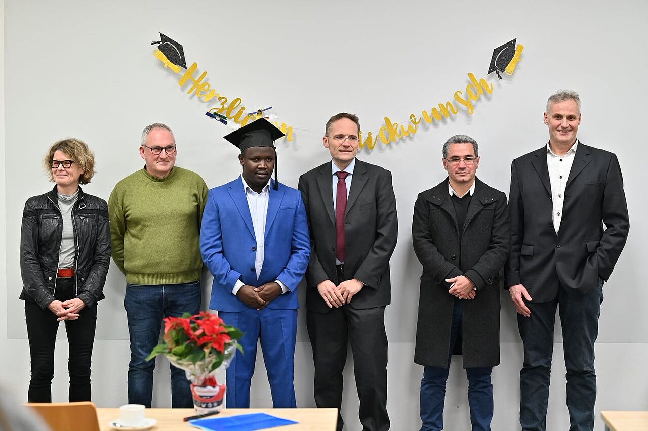
Successful disputation of Pius Kirui
On 12.12.2023, our colleague Pius Kirui successfully completed his dissertation with the disputation. We would like to congratulate him and wish him all the best for his future scientific career.
In his doctoral thesis, Pius Kirui worked on the detection of deformations along the Kenyan rift system using InSAR data. A short description of the topic as well as a list of the publications generated during his PhD can be found on our project website.
The IGP wishes all the best for his future!
11. January 2024 - Prof. Dr-Ing. Markus Gerke
Geomonitoring 2024 in Braunschweig
Program and registration
The conference series "Geomonitoring" has been organized jointly by TU Clausthal, LU Hannover and TU Braunschweig alternately at the respective locations since 2011. The next conference venue will be Braunschweig again: on February 29 and March 1, 2024, we will meet at Campus North to discuss current developments and issues relating to the monitoring of geometric changes of natural and artificial objects in the (human-influenced) Earth system.
On the conference website you will find the program and the possibility to register. The early bird discount is still available until 31.01.2024.
The program and further information about the conference can also be found in this flyer. Note, however, that the conference language is German.
We are looking forward to two exciting days in Braunschweig.
18. December 2023 - Prof. Dr.-Ing. Markus Gerke
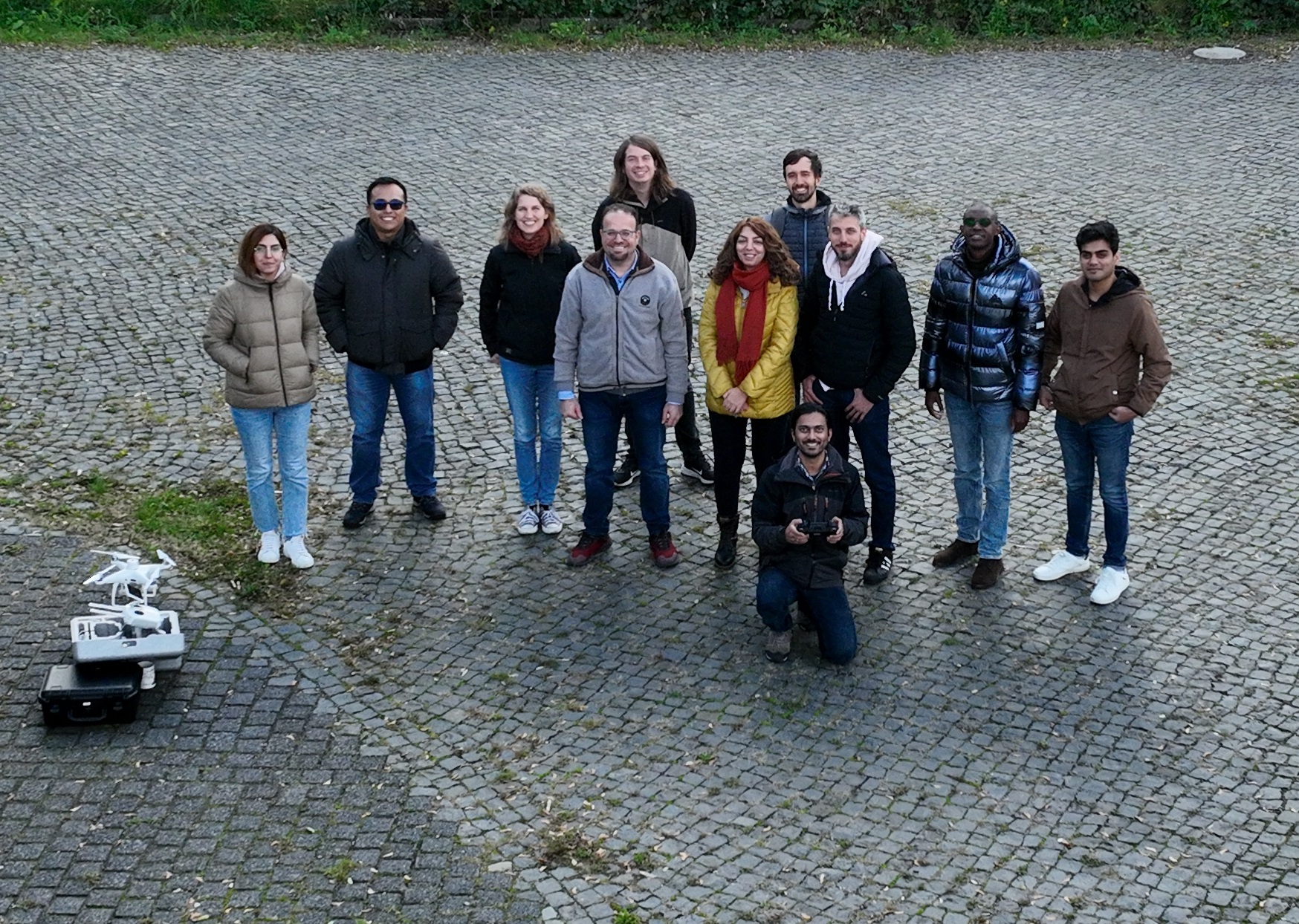
UAV Workshop
In best flying weather, Dr.-Ing. Ahmed Almouri gave an internal workshop on data acquisition with drones for all colleagues at IGP on 23.10.2023. The workshop took place in the context of the institute's Geo-working group and offered insights into the complexity and opportunities of data acquisition using drones. After a short theoretical introduction, different drone models were presented and then the first drone took off from Campus Nord. In a second workshop, the focus is on the preparation and further processing of the captured image data.
23. October 2023 - Dr.-Ing. Ahmed Alamouri
Scholarship for Pius Kirui from the Gerhard and Karin Matthäi Foundation
We are pleased to announce that the Gerhard and Karin Matthäi Foundation is supporting our colleague Pius Kirui in the final phase of his PhD with a scholarship. The scholarship follows on from the DAAD funding and will enable Pius to defend his work in autumn. We thank the foundation for making this possible.
12. July 2023 - Prof. Dr.-Ing. Markus Gerke
Björn Riedel: 40 years of commitment to public service
On July 1, 2023, our colleague Dr. Björn Riedel celebrated his 40th anniversary in public service! We all congratulate warmly and thank him for his outstanding service.
Björn Riedel joined the TU Braunschweig in 1991. First, he finished his diploma thesis in geodesy studies at the University of Stuttgart. Afterwards he became a staff member at the chair of Prof. Möller, later at today's Institute of Geodesy and Photogrammetry under Prof. Niemeier. Today, Dr. Riedel is a senior academic officer and thus a very important pillar in the so-called "Mittelbau", without which university operations could not be maintained. Besides his own research in the field of satellite remote sensing, he contributes excellently to the teaching program of our institute, supports many projects, and keeps the IGP together and running.
The IGP team wishes all the best and looks forward to many more years of good cooperation.
04. July 2023 - Prof. Dr.-Ing. Markus Gerke
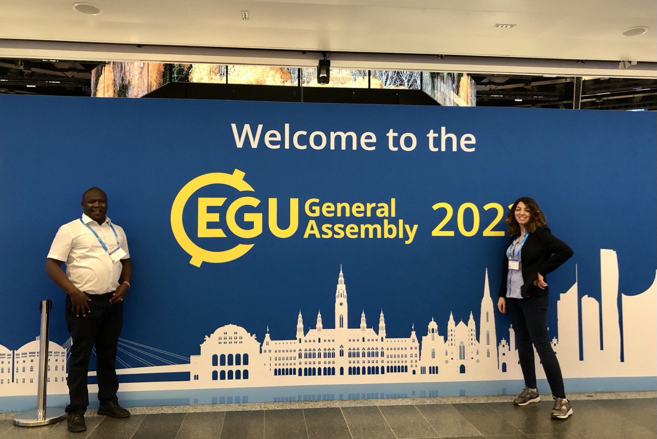
EGU Conference 2023
Recently we had the opportunity to attend the European Geosciences Union (EGU) conference in Vienna. It was an enriching experience where we had the privilege of delivering our oral presentations on two distinct topics, “Comparison of land surface temperatures from Landsat with soil freeze-thaw measurements in permafrost peatlands” in a session on remote sensing of cold regions and “Determination of anthropologically induced deformation along the Kenyan Rift system using Multitemporal InSAR analysis with Sentinel-1 data” in a session on SAR remote sensing for natural and human-induced hazard applications. Presenting our research to a diverse audience of fellow researchers, professionals, and experts in the field was an invaluable opportunity to share our insights, engage in fruitful discussions, and receive valuable feedback. The EGU conference provided an exceptional platform for knowledge exchange and networking, enabling us to forge new collaborations and deepen our understanding of the latest advancements in the geosciences field. It was a memorable experience that further fuelled our passion for scientific exploration and discovery. See also our project pages on TransTIP and InSAR-based Crustal deformation monitoring along the Kenya Rift system.
Taghavi Bayat, A., Gerke, M., and Riedel, B.: Comparison of land surface temperatures from Landsat with soil freeze/thaw measurements in permafrost peatlands, EGU General Assembly 2023, Vienna, Austria, 24–28 Apr 2023, EGU23-9630, https://doi.org/10.5194/egusphere-egu23-9630.
Kirui, P. K., Riedel, B., and Gerke, M.: Determination of anthropologically induced deformation along the Kenyan Rift system using Multitemporal InSAR analysis with Sentinel-1 data. , EGU General Assembly 2023, Vienna, Austria, 24–28 Apr 2023, EGU23-12996, https://doi.org/10.5194/egusphere-egu23-12996.
05. June 2023 - Aida Taghavi & Pius Kirui
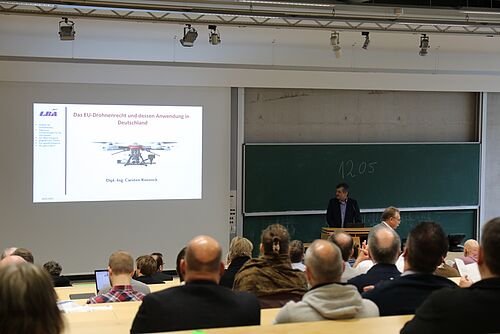
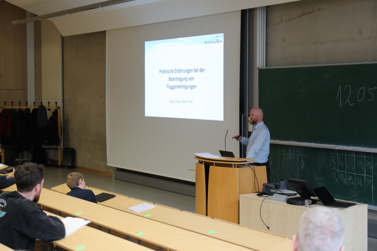
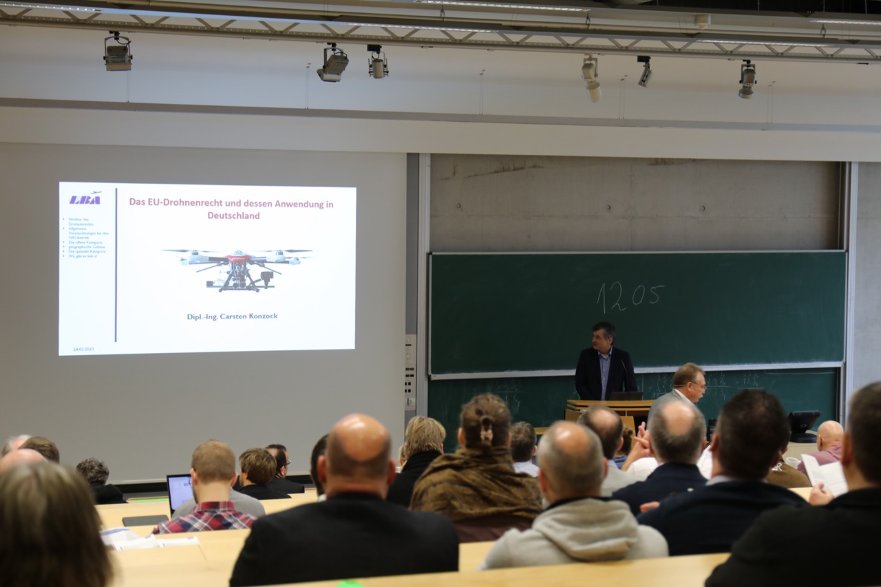
DVW UAV Seminar „UAV 2023 – Geodaten nach Maß“ was a success!
The IGP has been active in drone-based photogrammetry for many years. In many completed and ongoing projects, we have demonstrated and further developed the potential that arises from the use of this technology. Because of this experience we organized a UAV seminar in Braunschweig together with colleagues from DVW e.V. and DGPF e.V. This seminar was aimed at participants from the field and took place as part of a DVW seminar series.
Thus, 180 interested colleagues from practice and science met on our campus to learn about current developments regarding systems, software, requirements and legal framework conditions of UAV-based data acquisition and evaluation over two days. In the thematic block "Sensors and Platforms", developments on the drone market as well as current camera systems were highlighted. Drone-based laser scanning, which is well established in practice, was addressed as well as innovative, customized hardware solutions. In the "Innovative Evaluation" session, experts reported on data processing in various contexts, for example in the government sector and with regard to automatic evaluation (see picture gallery).
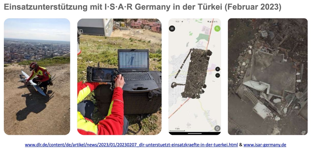
The third and fourth sessions were devoted to the topic of regulation and flight approval procedures with a concluding panel discussion. It became clear that many questions remain unanswered in current flight clearances practice. For the first time, the workshop "Software Products for Typical Tasks in UAV Image Data Processing" was held on two half days prior to the seminar. Participants gained an overview of the functional scope of the products most commonly used in geodetic practice. We are also pleased to announce that the participants of the conference donated more than 1.400€ for the mission of "Médecins Sans Frontières" in the earthquake disaster areas in Northern Syria.
As of now, the conference proceedings "UAV 2023" can be downloaded free of charge as a PDF
1. March 2023 - Prof. Dr-Ing. Markus Gerke
217. DVW-Seminar & Workshop "UAV 2023 - Geodaten nach Maß"
Date/Location
23. und 24. February 2023
22. und 23. Feburary 2023 (workshop optional)
Braunschweig
Today, the use of UAV-based data acquisition and analysis is an almost daily business for many professional users from geodesy and photogrammetry, and geoinformation in general. However, more than with other technologies, systems, software, requirements and legal frameworks are subject to constant change. In this environment, it is therefore essential to constantly deal with the current status quo. This includes questions about current regulations and flight approval procedures, information about modern platforms and sensors, and innovative processes for practical applications. Renowned speakers will provide a comprehensive overview of the current state of UAV systems in many facets and will be available to answer questions from interested participants.
NEW: Workshop before the seminar
On the day before the seminar, for the first time, there will be an opportunity to learn about the functional scope of the products most commonly used in geodetic practice in a workshop entitled "Software Products for Typical Tasks in UAV Image Data Processing".
15. November 2022 - Dr.-Ing. Ahmed Alamouri
GeoMonitoring 2023
Date/Location
09./10.03.2023 at Leibniz Universität Hannover
GeoMonitoring requires the combination of observation methods and process modeling. This is essential for the reduction of geohazards. The conference series "GeoMonitoring" focuses on the monitoring of geometric changes of natural and man-made objects in the human-influenced system Earth. The interdisciplinary conference "GeoMonitoring" presents measurement methods from geodesy, geotechnics and geophysics as well as from related sciences. For the integration of their results and for the description of the complex behavior of geoobjects, relevant and applicable modeling approaches are presented. The conference series is organized by the Institute of Geodesy and Photogrammetry of the TU Braunschweig, the Institute of Geotechnics and Mine Surveying of the TU Clausthal and the Geodetic Institute of the Leibniz Universität Hannover.
10. October 2022 - Dr.-Ing. Björn Riedel