

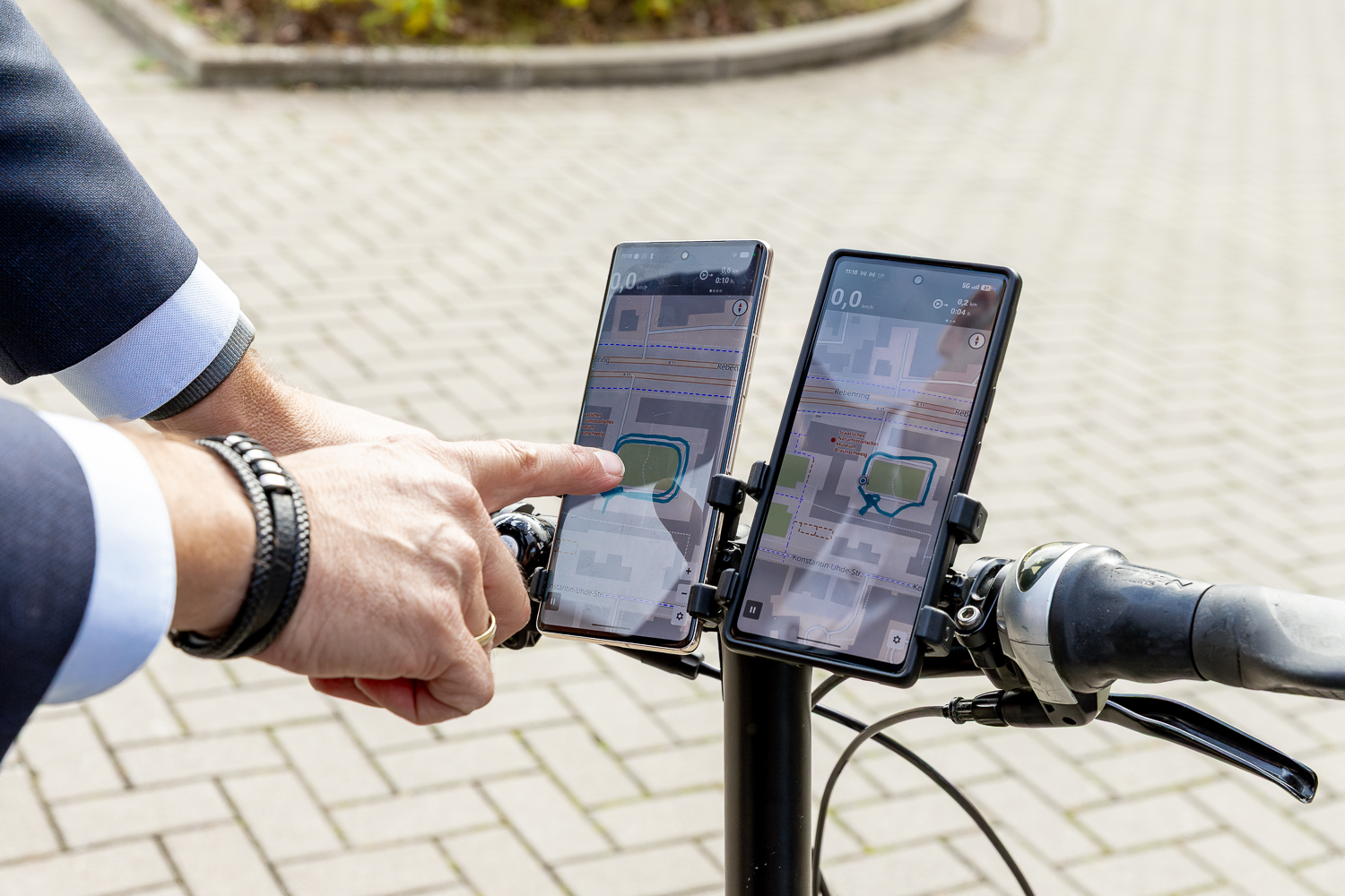
As part of the European research project egeniouss, solutions were developed to enable more reliable positioning in environments with limited or disrupted satellite reception. Particularly in cities, where GNSS signals can be blocked or reflected by tall buildings, the accuracy of conventional navigation systems is compromised. To solve this problem, egeniouss combines satellite navigation with images of the surroundings and data from various sensors. As a result, the accuracy of visual positioning was improved by up to a factor of 50 in tests conducted under urban conditions. The technology has been trialled for applications including cycle navigation, surveying and unmanned aerial vehicles. The project, co-sponsored by the Technical University of Braunschweig (Institute of Geodesy and Photogrammetry, Institute of Flight Control) and coordinated by the AIT Austrian Institute of Technology, concluded in October 2026. The results demonstrate potential for further applications, such as in logistics or urban mobility.
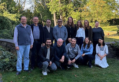
Last week the team of IGP met in Burg Warberg to discuss current and future challenges in teaching and research. In particular, AI trends will bring opportunities but also challenges for our research and teaching. It was also a good opportunity to get to know each other better.
Our English-language lecture and exercise "Deep Learning" was honoured as the best international course in the Technical University of Braunschweig's teaching award. The students praised the course taught by Professor Markus Gerke, Dr Mehdi Maboudi and Dr Pedro Marco Achanccaray Diaz: „The course is designed really effectively. The lecture series, lab sessions, assignments provide a comprehensive idea about various topics of training ML algorithms. The bonus exercises bring out our competitive side.”

We have changed our specialisation from "Engineering Geodesy" and "Environmental Monitoring" to "Geodetic Monitoring and Geoinformation". It consists of the modules "Engineering Surveying", "Photogrammetry", "Remote Sensing", "Image Processing and Interpretation" and "Geoinformatics".